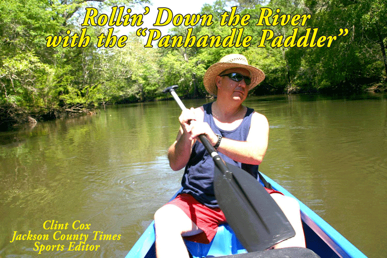
By Clint Cox, alias “The Panhandle Paddler”
The Chipola River is formed at the confluence of Cowart’s Creek and Marshall Creek in Northern Jackson County. These two creeks merge to form the Chipola River a few miles north of the Highway 162 Bridge. From there the Chipola’s Jackson County journey takes it south to the Florida Caverns State Park. Once in the park, the river goes underground for approximately ¼ of a mile before resurfacing and continuing its southward journey. After passing under Yancey Bridge at Highway 167 (Caverns Highway) the river flows south another 2 miles to the Highway 90 Bridge. Eight miles later the river crosses under Magnolia Bridge on County Road 280A (Magnolia Road). From there it’s a 10 mile trek to State Road 278 (Peacock’s Road). This is where the river flows under Peacock’s Bridge, which is one of the highest bridges on the river in Jackson County. At normal water levels Peacock’s Bridge is about 45 feet above the river. From Peacock’s Bridge the Chipola meanders its way to the southern most portion of Jackson County before finally crossing into Calhoun County. From it’s beginning at the merging of Cowart’s Creek and Marshall Creek to it’s crossing into Calhoun County, the Chipola River flows for approximately 30 miles through Jackson County. In all the Chipola River flows for 89 miles from it’s beginning in Jackson County through Calhoun County and into Gulf County where it flows into the Apalachicola River. The river also boasts 63 freshwater springs along its way, with 58 of them being in Jackson County.
The Chipola River is formed at the confluence of Cowart’s Creek and Marshall Creek in Northern Jackson County. These two creeks merge to form the Chipola River a few miles north of the Highway 162 Bridge. From there the Chipola’s Jackson County journey takes it south to the Florida Caverns State Park. Once in the park, the river goes underground for approximately ¼ of a mile before resurfacing and continuing its southward journey. After passing under Yancey Bridge at Highway 167 (Caverns Highway) the river flows south another 2 miles to the Highway 90 Bridge. Eight miles later the river crosses under Magnolia Bridge on County Road 280A (Magnolia Road). From there it’s a 10 mile trek to State Road 278 (Peacock’s Road). This is where the river flows under Peacock’s Bridge, which is one of the highest bridges on the river in Jackson County. At normal water levels Peacock’s Bridge is about 45 feet above the river. From Peacock’s Bridge the Chipola meanders its way to the southern most portion of Jackson County before finally crossing into Calhoun County. From it’s beginning at the merging of Cowart’s Creek and Marshall Creek to it’s crossing into Calhoun County, the Chipola River flows for approximately 30 miles through Jackson County. In all the Chipola River flows for 89 miles from it’s beginning in Jackson County through Calhoun County and into Gulf County where it flows into the Apalachicola River. The river also boasts 63 freshwater springs along its way, with 58 of them being in Jackson County.
This beautiful spring fed river flows through river swamps and hardwood forests of beech, magnolia, oak and dogwood. Wildlife that can be seen on the river includes squirrels, raccoons, beaver, deer, alligator, snakes, turtles and numerous types of bird. The river alternates between low banks and floodplain areas in the northern portion of Jackson County to high banks and limestone bluffs in the southern portion of the county. Numerous springs and a few caves can also be seen along the river. Archeologist and Historians know that the Chipola River (which is believed to mean sweet water in Choctaw) has long been used by early man. Native Americans are known to have used the river for fulfilling their water and food supplies as well as transportation. The Chipola River is just as important for modern day mankind but more for recreational uses such as hunting, fishing, canoeing / kayaking, tubing, swimming, diving, camping, horse back riding and bird watching.
Rollin’ Down the River is a weekly summertime feature of the Jackson County Times that highlights the importance of the Chipola River to Jackson County through pictures, stories and articles. To have your treasured photographs and memories of the Chipola River published, e-mail them to clintcox@jacksoncountytimes.net or drop them off at the Time’s office.


No comments:
Post a Comment