After failed attempts to hit the river Saturday and Sunday, I finally made it to the water on Monday after work. I put my kayak (The Yellow Submarine) in at the Highway 162 bridge for a short trip down the Chipola River. The Highway 162 bridge launch site is used primarily by canoes, kayaks and lightweight boats as it does not have a concrete launch pad. It is also moderately difficult to access with a vehicle, especially during rainy weather.
The Sunday rains muddied up the water but made for easier paddling. There were one or two trees to maneuver around but nothing too difficult. About a 10 minute paddle down from Highway 162 I approached the rusty old iron structure known as Bellamy Bridge. Bellamy Bridge is most notably known as the centerpiece of our local legend “The Ghost of Bellamy Bridge.” The central figure of the legend, Elizabeth Jane Bellamy, died in 1837 and is buried in a family cemetery not far from the current iron frame structure of Bellamy Bridge. Local Historian Dale Cox has researched and written about “The Ghost of Bellamy Bridge”. You can check out his findings at www.exploresouthernhistory.com/bellamybridge. It is great reading, even if it does disheartened some of us local folks who grew up hearing about “The Ghost of Bellamy Bridge.” (See Simply Put) Dale Cox has also lent his support to Rollin’ Down The River by agreeing to supplement this series with some brief historical information about the sites along the Chipola River.
Christoff’s Ferry, or Christoff Landing as it is noted on several local maps, was the take out point for this trip. It is located about 5 miles north of Marianna off Bump Nose Road on Christoff Ferry Lane. It has a well maintained concreted boat launch. There is ample parking as well as a primitive camping area just west of the landing that is part of the Upper Chipola River Management Area. Just a few feet to the north of the launch is where the Waddell Mill run enters the river. This run originates at the Waddell Mill Pond and flows several miles before meeting up with the Chipola.
Overall, this is a nice little run. I say little because it only takes about 1 ½ hours to paddle. For the most part it is free of any significant obstacles or trees to traverse. The river shows some signs of traffic (trash) but is still a fairly remote area. There is some high banking on the east side of the river, plenty of bird watching opportunities, good fishing and as always some beautiful scenery.
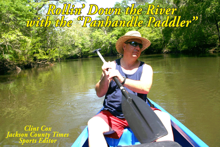
Rollin’ Down the River is a weekly summertime feature of the Jackson County Times that highlights the Chipola River through pictures, stories and articles. For more photos, please see Freeze Frame on back page.


No comments:
Post a Comment