The fourth leg of our journey on the Chipola River deals with the portion of the river from the Florida Caverns State Park to the Yancey Bridge boat landing. In order to travel on this section of the river though you must put in at Yancey Bridge and go up river. That is because the Park prohibits travel south of their boat landing and the next public boat launch is at Yancey Bridge.
My goal was to try and paddle all the way to the point where the Chipola River resurfaces after going underground (The Natural Bridge). So the journey began by putting in at Yancey Bridge and traveling up river. Depending on the water levels, paddling up river can be fairly tough at times. There are several shoals and narrow points that will certainly get your heart pumping. About a ½ mile north of the bridge begins the boundary of the Caverns State Park (as noted by a sign on the west bank). The first stretch (about 1 mile) of this runs is a very doable paddle and there are relatively few log jams or obstacles.
However the final half mile or so of the run is more difficult. There are several log jams that must be conquered. About a 1 ½ miles north of Yancey Bridge there is a fork in the river. Traveling to the right brought me to straightaway, but there were significant log jams. Traveling to the left brought me to some swift water and then a significant log jam. I decided to abandon the paddling and conduct some reconnaissance by foot. After crossing the river on a tree bridge, I stumbled onto a trail. I followed that trail and began to see the signs of mankind, trash. About 50 yards later I stood at the point where the river resurfaces after going underground. I had reached my destination. And about 50 yards further through the woods I could see the road and bridge at the Caverns boat landing. After some more reconnaissance I realized the straightaway that I had encountered was the channel that had been dug more than 75 years ago across The Natural Bridge to allow the timber companies to float logs down the river. Apparently they dug the channel in a straight line to connect with the river about 100 yards south of where the river resurfaces.
Having reached my destination I returned to my kayak and started the journey back. Obviously the journey downriver was much easier than going up river. This portion of the river is fairly wide and has low banks. During high water it floods easily and spreads out a good bit. I saw quite a few birds including Herons, Egrets, Owls and a beautiful Cardinal). I also saw several large turtles and a large snake that I didn’t get close enough to identify. Overall, this is a nice little stretch to paddle, as long as you don’t mind paddling up river for awhile.
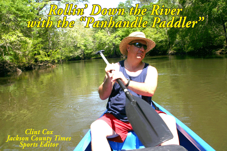
Rollin’ Down the River is a weekly summertime feature of the Jackson County Times that highlights the Chipola River through pictures, stories and articles. For more photos, please see Freeze Frame on back page.


No comments:
Post a Comment