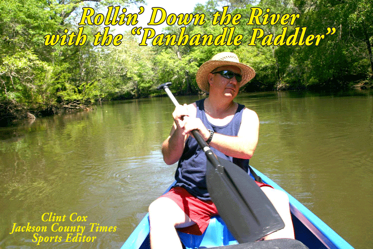
The third leg of our journey on the Chipola River begins at Christoff’s Ferry Landing (See last week’s edition for more about Christoff’s Ferry). The end destination for this trip is the Natural Bridge area located inside the Florida Caverns State Park.
The first 30 minutes of this run is easy paddling. The river is wide and deep in most places and almost completely free of any log jams or fallen trees. About a mile below Christoff’s the paddling becomes more challenging. During high water levels the river turns into a swamp and the channel is difficult to distinguish. Just remember to follow the flowing water and it will lead you to where the river channel becomes distinguishable again. During low water levels, which are what I had this past weekend, the river becomes narrow and has numerous log jams. There was a stretch of the run that was down right treacherous. I had to port twice and pull my kayak over at least 8 log jams. This was after seeing two alligators, one of which was a good 9-10 feet (See picture on this page), and a very healthy cottonmouth.
Once I cleared this section though I was back to easy paddling. It is on this portion of the run, about 1 mile north of the Caverns boat launch, in which there are several really nice springs. They are easily observed and enjoyed during low water levels. On the west side of the river is a spring called Leaf Spring that has a significant surface boil and several trees across it. These trees make for comfortable seating while enjoying the cool waters of the spring. Just below Leaf Spring on the east side of the river is the Baltzell Springs. There are three distinguishable springs, including one right on the river. There is also a spring run to the east that is about 100 yards long. This run leads to a pair of larger springs. I can recall swimming at these springs during my teenage years. One spring had an old fashion diving board, which means it was literally a board, and another had a nice swing. You can still access the spring that had the diving board, whose remnants are still visible, by walking up this run (about 100 yards). However the surrounding property and the other spring are on private property.
From this point to the Caverns Boat Launch the river is very navigable. Canoes, kayaks and small boats can easily maneuver in this portion of the river. The take out point at the Caverns Park is well maintained and has a concrete launch pad. This is also the point in which the river goes underground and forms The Natural Bridge. See the attached article by Dale Cox for more about the Chipola’s Natural Bridge.
In all, this is a very beautiful and remote part of the river with plenty of wildlife. Be forewarned though, the middle portion of this run is quite difficult, especially during low water levels. If you’re looking for a relaxing time on the river, put in at the Caverns, go up river for about a mile and enjoy some really cool springs. Or put in at Christoff’s and enjoy the river just above and below the landing.
Rollin’ Down the River is a weekly summertime feature of the Jackson County Times that highlights the Chipola River through pictures, stories and articles. For more photos, please see Freeze Frame on back page.


No comments:
Post a Comment