It’s back to the water after spending the last two weeks on the front porch with Dick Hinson as he recollected that memorable trip with Sonny Anderson down the Chipola in 1986. We pick our paddling back up at Yancey Bridge and will make one of the more popular runs down the river. From Yancey Bridge to Magnolia Bridge is about an 8 mile stretch. Because of the many different sites along this run, we’ll make this run a two part story.
Yancey Bridge has a well maintained concrete launch site and just around the first bend you’ll encounter Jack’s Island. This may not be the official name but it’s the name given to the little island by my family because on our family walks through the trails at Citizen’s Lodge Park our yellow lab (Jack) loves to swim in the river and scourers this little island looking for treasures. Just down from Jack’s Island is the bend with a cabin right on the river. It used to belong to Judge Robert McCrary (deceased) and right beside the house is Sand Bag Spring. Many local folks will recall the cabin has a porch swing right on the river that was made famous by local photographer John Brewer. And I can recall swimming in Sand Bag Spring when I was no older than four or five. The cabin wasn’t there then, it was built in the late 60’s or early 70’s, and we called the spring “The Blue Hole”. The spring is on private property and the banks have been modified with concrete to resemble a swimming pool.
About 1 mile south of Yancey you’ll pass behind Riverside Elementary School, which was appley named when first established in 1960 as it is about 200 yards from the river. Next up is the Highway 90 Bridge, about 2 miles south of Yancey Bridge. (See Dale Cox’s Story about the Highway 90 Bridge). The next bridge that you’ll encounter is the railroad bridge. Several friends have told me of camping numerous times on the northwest side of the bridge in a clearing along the river. Dick Hinson tells folks during his talks that this railway had a huge impact on the development of the Panhandle area back in the 1830s & 1840s. “Before the railway travel was extremely difficult. The two main communities in Florida were Pensacola and St. Augustine and it took 6 weeks to get from one to the other by land. The railway changed all that and towns, including Marianna sprang up all along the way,” Hinson said.
Join me next week as we continue the trip from Yancey Bridge to Magnolia Bridge. Destinations ahead include “The Ovens”, The Alamo Cave, Maund (or LaMaunde) Spring, Spring Creek and much more
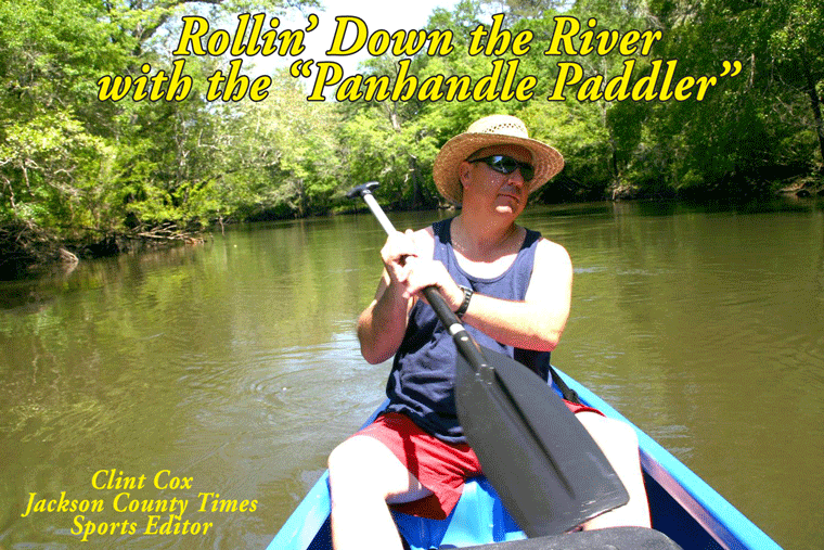
Rollin’ Down the River is a weekly summertime feature of the Jackson County Times that highlights the Chipola River through pictures, stories and articles. See Freeze Frame for more photos from this recent trip.


No comments:
Post a Comment