The Chipola River flows 89 miles through three counties (Jackson, Calhoun and Gulf). As the largest tributary to the Apalachicola River, the Chipola changes it’s appearance significantly as it travels south. The middle and lower portion of the river widens out to be very accessible to boaters and offers fantastic recreational opportunities. The humble beginnings of the Chipola River present a stark contrast. If you are looking for a leisurely boating experience on the Chipola, stay away from the northern most portion of the river. But if you want to spend time on a segment of the river that is full of wildlife and free of any development, people and trash, then this leg of the river is for you.
The Chipola River is formed at the confluence of Cowart’s Creek and Marshall Creek in northern Jackson County. Both creeks begin in southern Houston County in Alabama and then make a border crossing to Florida. These two creeks merge to form the Chipola River about three miles south of Highway 2. Public access to the Chipola’s humble beginnings is difficult to say the least. Most of the land bordering the river is part of the Upper Chipola River Management Area. And all the land surrounding the management area is privately owned. So unless you own any of the surrounding property or have access through hunting leases, your access points are limited to two. You can put in on Marshall or Cowart’s Creek on Highway 2 and go south or put in at Highway 162 and head north. Unless the water levels are up, leave your boat and motor at the house as this is canoe territory. The Highway 2 creek bridges have not prepared launch sites but you could launch from there if you put your mind to it.
The Highway 162 bridge has a launch site (see picture in Freeze Frame) but it is primarily used by canoes and very lightweight boats as it lacks a concrete launch pad. I put in at this site recently and began my northern trek in an attempt to find the confluence of Cowart’s and Marshall Creek. I knew with the lack of rain the water level would be low and the log jams would be frequent. The first two hours of paddling north weren’t too bad though. I had to paddle over a few logs, but only had to get out once to pull my canoe over a tree. I even ran up on Chris Cloud, Neil Glover and his boy Laurence as they waded the river and pulled in a mess of bream with beetle spins. The next 2 ½ hours though were all work and no play. I had to port (pull my canoe on land around fallen trees) twice. I had to get out, stand on a fallen tree and pull my canoe over at least twenty five times. After 4 ½ hours of paddling up river, porting and pulling my canoe over trees, I made the difficult decision to turn back. It was difficult because I am confident that I was getting very close to the confluence, which had been the goal of my trip. But I knew I had to go back from whence I came. In other words, I was going to have to port and climb over the same trees and logs that I had just conquered. With 6 hours of daylight left, I didn’t want to risk spending the night on the river.
For 8 hours I experienced the true Chipola River. It is unspoiled by development or folks throwing out their trash. Many portions of the river were only 2-4 feet deep and the clarity of the water displayed a mostly sandy bottom with occasional gravel beds. I saw an abundance of fish, birds and other wildlife. I spotted four owls and heard many others. I came up on three wild hogs and their piglets as they foraged for their evening meal. I saw one alligator and several “gator holes” that showed the track marks of it’s owner sliding in and out. To sum the day up, it was a lot of hard work and I didn’t make it to the “mouth” of the river. But it was still a great day on the humble beginnings of the beloved Chipola River.
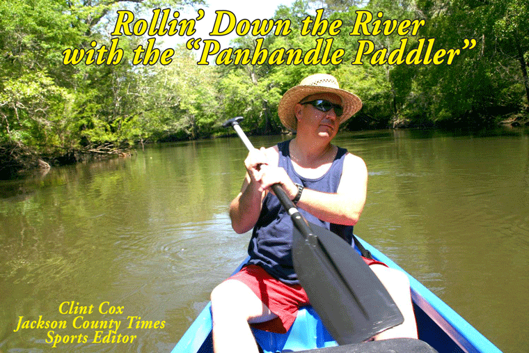
Rollin’ Down the River is a weekly summertime feature of the Jackson County Times that highlights the Chipola River in Jackson County through pictures, stories and articles For more photos please see Freeze Frame on back page.


No comments:
Post a Comment