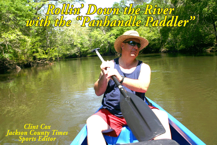
After spending the last three weeks visiting Blue Springs, Merritt’s Mill Pond and Spring Creek, we get back to the river this week. We concluded our Rollin’ Down The River feature last summer at Peacock’s Bridge, so that is where we’ll begin this summer’s river outings. My traveling companion for the next few segments was Chris Matthews, an avid paddler of the Chipola.
Peacock’s Bridge stands tall over the Chipola River in southern Jackson County between Highway 71 and 73 South. A nice concrete launch pad makes putting in easy at this boat landing and the river run south of Peacock’s Bridge is as pretty as it gets on the Ole Chipola. South of the bridge several spring runs enter the river from the eastern bank. We disembarked from our canoes and walked up one run for about ¼ a mile. We never found the spring head and the mosquitoes finally sent us retreating to the safety of the river. Next we spotted a nice little spring boil on the eastern side of the river that was pumping it’s clear cool water into the river.
About an hour’s paddle south of the bridge the river widens out. On this trip, with the absence of any recent rains, the river was clear and numerous shoals could be viewed along the way. One particular shoal is known as Federal Shoals. During normal to low water levels there’s a good little rapid as you float over Federal Shoals. On the western side of Federal Shoals are two small islands, and on the southern end of these little islands is a nice little swimming area.
Federal Shoals is the location where the old Federal Road crossed the Chipola and Fort Chipola stood up on a rise on the east bank during the Second Seminole War. The road was surveyed in 1823 and built in 1824-1825 by soldiers from the 4th U.S. Infantry. Funded by the U.S. Congress, it was the first U.S. road to go all the way across Florida. The fort was built on November 9, 1841, and used for a couple of years by U.S. soldiers who were scouring the area for roving bands of Indians who were hiding in the swamps and coming out from time to time to attack homesteads, etc. They used the crossing quite a bit during those years. The road was used through the Seminole War years, but gradually faded away.
Just around the bend from Federal Shoals is one of my favorite spots on the entire river. Tater Hill, as it is called by the locals, is on the eastern bank and is an ideal location for a midday lunch break and / or for taking a little dip. There is a nice sandy beach area and a swing for those young in body or at least young in heart. On the western side of the river are some lime rock formations in the water. If the water levels are low enough, you can sit on these rocks and dangle your feet in the river.
Thanks to Dale Cox, local historian and author, who assisted with this article by providing the historical information regarding Federal Shoals.
Rollin’ Down the River is a weekly summertime feature of the Jackson County Times that highlights the Chipola River through pictures, stories and articles.


No comments:
Post a Comment