We pick up journey where we left off last week and that was at the railroad tracks and bridge that crosses the Chipola River about a mile south of the Highway 90 Bridge. Just a few bends south of the railroad bridge you’ll begin to encounter some lime rock formations and high banks on the west side of the river. This means you are approaching one of the most popular sites on the river, a cave system called “The Ovens”. During low water levels “The Ovens” are easily accessible and are a must stop and see site. Many a local youth has lived out their Tom Sawyer cave explorations fantasies at “The Ovens.” I’ve camped several times at the mouth of the cave and it makes for great camping, especially if you are battling a rainy night. But be forewarned, you may be visited during the night by a few cave critters. And access to the cave is strictly by water, so venturing out at night from the cave is not recommended.
Just down from the “The Ovens” is “The Alamo” cave. It is located on a west bank bluff overlooking the river. The cave has two visible entry/exit sites. The two sites allow for perfect ventilation and this cave was no doubt popular with the early inhabitants of the area. It received the name “The Alamo” due to the numerous points found in the field behind it, suggesting many a battle was likely fought to defend or seize this enviable location.
Next up is The Maund Spring, which is accessed by a spring run that enters the river on the east bank. This is a beautiful spring with a large and deep visible opening as well as a cavern wall. Its cool waters have no doubt been a favorite with visitors for many years. For some reason though my recollection is that growing up we called it LaMaund Spring. The property surrounding the spring is private so visitors need to be respectful of this and as always, “Take only memories and leave only footprints.” Shortly after passing The Maund Spring travelers will begin to see some development along the west bank. Also in this area is a small spring entering the river on the east bank. Note that this part of the river is slow moving so be prepared for steady paddling.
After passing these houses and spring the next major encounter occurs where Spring Creek, the Chipola’s largest tributary, meets the river. The head of this spring is at the Blue Springs Recreational Facility. The portion of the creek north of the dam at Highway 90 is known as the Mill Pond. The southern portion is known as Spring Creek and has always been a popular creek for canoers, tubers, swimmers and fishermen. It has become especially popular in the last few years on the weekends with young folks from out of town. While many of the folks, both local and out of town, take care not to trash the creek and river, sadly there are plenty that do and beer cans and other trash are very visible. And the young folks on the weekend can get a little rowdy. If that doesn’t bother you, load up, join in and you’ll have a large time. But if it does bother you, try getting an early start (before 10:00 am). Or better yet, go on a week day and you’ll likely have the creek to yourself.
Below Spring Creek the river picks up speed as there are numerous shoals and lime rock formations. Paddling is much easier and before long you’ll reach the I-10 Bridge. After that is another short run before reaching the Magnolia Bridge. Just before the bridge you’ll see the remnants of an older railroad bridge that served a rail line that ran from Marianna to Blountstown years ago.
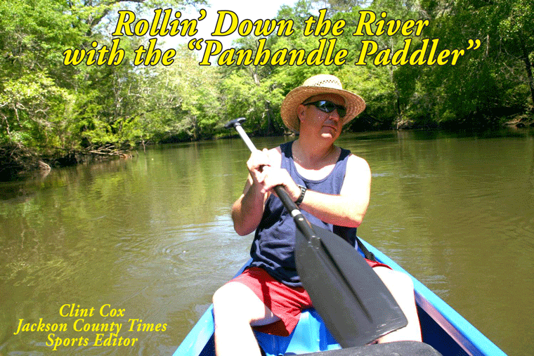
Rollin’ Down the River is a weekly summertime feature of the Jackson County Times that highlights the Chipola River through pictures, stories and articles. See Freeze Frame for more photos from this recent trip.


No comments:
Post a Comment