I’ve spent some beautiful days on the Ole Chipola River and last Saturday ranks right up there among the best. The humidity was much lower than normal at this time of the year and the temperature was in the upper 80’s. There was not a cloud to be found above, leaving the Carolina Blue skyline reflecting off the river like a mirror. We paddled from Magnolia Bridge to Peacock’s Bridge. And for all the time I have spent on the Chipola, I had not been on this portion of the river in more than 20 years. Boy, have I been missing a fantastic stretch of the river with my absence.
The first portion of this run features numerous shoals that make for easy and fun paddling. The water clarity was outstanding, making the paddling even more enjoyable. We did notice that there is a fair amount of development along this portion of the river, primarily on the west side. The development continues along and then you reach the area known as Turtle Bend. There are numerous houses along both sides of the river in this stretch. We also encountered something that I was not at all accustomed to seeing along the Chipola River. We rounded a bend to find a dozen or so cows wading in the shallows of the river. Several more times on this day we would encounter herds along the banks. We also encountered the normal wildlife along the river including numerous birds of different species, squirrels, turtles, mullet and one snake. Even though the humidity was low and the temperature was not too bad, several swimming stops along the way were made to partake in the cool waters of the Chipola.
In addition to numerous shoals along this portion of the river, there were several stretches in which the river flattens out and is much wider than the Upper Chipola stretches. About midway through the trip we came upon an island. On the north end of the island is a well worn camping spot that looked ideal for spending a night or two on the river. As it turns out this island is about two bends north of where Dry Creek enters the Chipola River. We paddled a little ways up into Dry Creek and found another little area that looked like it has seen some frequent camping adventures. The clear cool waters of Dry Creek also made for a refreshing swim.
Join me next week as we continue the trip from Magnolia Bridge to Peacock’s Bridge. Destinations ahead include Moccasin Island, Little Lookin’ Tremble, Rocky Creek, Spelman Springs and Peacock’s Bridge.
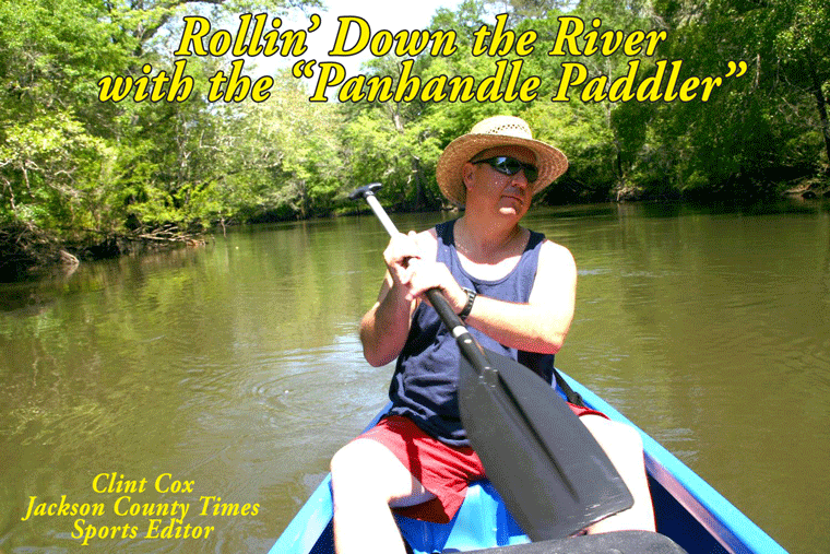
Rollin’ Down the River is a weekly summertime feature of the Jackson County Times that highlights the Chipola River through pictures, stories and articles. See Freeze Frame for more photos from this recent trip.


No comments:
Post a Comment