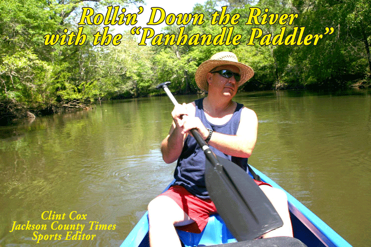
By Clint Cox, alias “The Panhandle Paddler”
Departing from Scott’s Ferry early on a beautiful Sunday morning, Chris Matthews and I began our journey toward the Dead Lakes. South of the Highway 71 bridge there are several sloughs, one of which includes a very large house boat that is rumored to house a full size pool table. On down the river there are numerous houses on the east side of the river and the eastern banks are high while there are almost no banks on the western side.
The river goes through several changes in this section, going back and forth from being a wide and slow moving river to being much more narrow and picking up speed. About an hour paddle below the bridge the river forks, with the left fork going around an island in a horseshoe fashion. Stay to the right if you want the quicker route and continue on as the river begins to narrow again, traversing through several willow runs. Coming out of the willow runs are more sloughs and many cypress stumps that give indication of logging in years past. This widening and narrowing of the river continues for several miles but we eventually come upon a bend with several nice houses and a pretty good size creek coming from the east. That creek would be Cypress Creek and that indicated we were now in the upper portion of the Dead Lakes.
The Dead Lakes were created naturally over the course of many years. The sediment-laden Apalachicola River deposited its silty sands over its banks, causing a slow-motion jam that eventually created a natural dam on the Chipola River. The ensuing high water from the Apalachicola in the floodplain killed thousands of trees, thus the name Dead Lakes. A man made dam was constructed in 1962 to help maintain a high water level however it was torn down around 1987 when it was realized that the man made dam was doing more harm than good.
With Chris leading the way, the paddling plan was simple. Hang right all the way down the lake. If there was ever a place that a person wanted to get lost, the Dead Lakes would be a prime location. But with a GPS and a map of the lake we made our way safely down the western shoreline. The lake begins to widen out significantly with more cypress stumps than you can imagine. There were several notable landmarks along the way that reassured us we were on the right path. Those landmarks included Brown’s Creek, a sunken barge, Cypress Lodge and an Eagle’s Nest. There were also a couple of unusal landmarks that included a twisted cypress tree that looked like an ice cream cone and a string of gordes up in the trees.
By midday we had reached our take out location, which was an old fishing camp that we were able to access thanks to Sam Mattraw. We had made it about two-thirds of the way down the Dead Lakes but our day was over. So tune in next week for the final leg of the journey through the remainder of the lake and the end of the Ole Chipola River.
Rollin’ Down the River is a weekly summertime feature of the Jackson County Times that highlights the Chipola River through pictures, stories and articles.


No comments:
Post a Comment