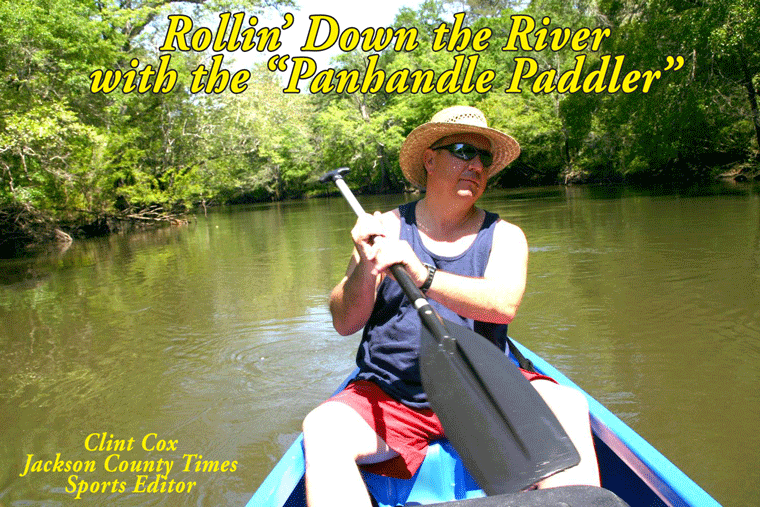
By Clint Cox, alias “The Panhandle Paddler”
Our summertime stroll down the Chipola River continues this week with the run from Lamb Eddy to the Highway 20 Bridge. My traveling companion, Chris Matthews, and I made this trip on a June Sunday morning after camping the night before at Lamb Eddy. In last week’s feature I commented that I did not know the origins of the name Lamb Eddy. One of our readers, Nadine Standland called to provide the information. Lamb Eddy was named after John Lamb, who lived on the west banks of the eddy. His brother lived on the east banks of the eddy. John Lamb’s father-in-law was William Peacock, the great great grandfather of Standland. We started out with a beautiful blue sky over our heads and the Ole Chipola beckoning us to spend the day in her company.
Just below Lamb Eddy there is quite a bit of development on the west bank but the east bank remains mostly undeveloped. Just over a mile below Lamb Eddy is a concrete boat landing, known as New Landing on the east side. From that point southward the housing build up switches sides as the east bank is developed while the west bank is undeveloped. The river also begins to widen out some here and slow down. About an hour paddle below Lamb Eddy we observe Ten Mile Creek meeting up with the river from the west bank side. This tea colored creek has some very interesting lime rock formations that guard its’ bank for almost a ¼ mile up creek. This creek, which I suspect is about 10 miles long, runs all the way back up to Highway 73. Just south of Ten Mile Creek several smaller creeks were seen, one on the west bank and one on the east bank. It was along in here that we noticed an unusual lime rock formation on the east bank that appeared as if it had a shelf running parallel with the river for about 75 feet.
We stopped for lunch at a small creek entering from the east called Farley Creek. It had a nice little sandy beach area but it was most easily noted by a concrete bridge over the creek just a few feet from the river. We had a nice visit there with a nice young couple whose family owned the property. They had brought their new Labrador puppy down to the river for a dip. There’s nothing like a puppy and the river to coax total strangers into an enjoyable chat. On down a ways the river widened out even more and we noticed a lot of bamboo on the west bank. Right after the bamboo forest we came upon Four Mile Creek. This creek, which is tea colored like Ten Mile, enters from the west about four miles below Lamb Eddy. The river was clear and shallow here and it made for a great cooling off dip.
Past Four Mile Creek there are some really high banks on the east side, some at least several hundred feet high. It had a feel almost like we were paddling through a gorge in the mountains of North Carolina. After departing the high banks area, the river returned to its’ normal look and as we neared the Highway 20 Bridge we spotted some nice sand bars. One particular sandbar was rather large and hugged the west bank a few bends above the bridge. Several smaller sandbars, and a slough called Gator Slough, were stationed just north of the bridge.
Join us next week, we’ll journey from the Highway 20 Bridge to Scott’s Ferry.
Rollin’ Down the River is a weekly summertime feature of the Jackson County Times that highlights the Chipola River through pictures, stories and articles.


No comments:
Post a Comment