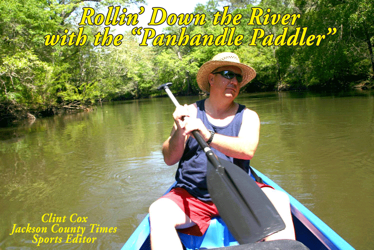
By Clint Cox, alias “The Panhandle Paddler”
This week’s paddle adventures began at the Highway 20 Bridge with Greg Lambe serving as our chauffeur (on land) and Chris Matthews once again serving as my traveling companion, and more importantly on this run, as my guide. The river was somewhat muddy due to recent rains but early traveling weather was enjoyable. This portion of the river is much wider with numerous sloughs, especially on the eastern side. Numerous house boats were observed along the way as well as some screened houses or pavilions.
Several creeks were noted along the way and like the sloughs most enter from the eastern banks as the western banks were usually much higher. But then the high banks switch sides and we came up on a bend that had extremely steep banks on the east side. These banks, at least 75 feet in height, were covered in various forms of vegetation (ferns, wild honeysuckle and mountain laurel) but you could hear spring waters trickling through the lime rock as it made its’ way down to the river. Just across from these banks was a nice little sandbar that we stopped at for a snack and to rest our bodies. A closer inspection of the banks revealed the clear waters trickling into the river and the lime rock displayed shelled fossils from it’s’ days of being under ocean waters.
About 10 minutes down from this area is a small tea colored creek entering from the east. There is a swing, complete with a launching stand and just up creek is a beaver dam, which made for a nice little water fall. We then began to encounter “Willow Way”, a long stretch of the river in which Willow trees border both the east and west banks. It was along in here that we had our first gator sighting and we trailed this 7 or 8 footer down the river for at five or six bend before he had enough of us and submerged into the murky waters.
The river begins to change as it becomes narrower and splinters off into numerous sloughs with little to no banking. This last for about a mile and then the river reforms with more of a channel and banking. This occurred just as we approached Jehu Landing, a dirt boat landing on the east bank. A little further down we went back through another narrow stretch with more sloughs splintering off. We came out of this stretch to find numerous RV campers on the east bank and Beck’s Lake, a large slough, on the west bank.
About five hours paddle below Highway 20 we came to the area known as Ward Lake. This is a stretch where the river splinter’s into a series of sloughs and narrow runs. When you encounter a sign that says Ward Lake pointed to the left, go right. All the locals will tell you to enter Ward Lake only if you positively know your way around. Going right will led you to a run that will take about an hour and will get narrower the further south you travel. Some parts are so narrow and shallow that only a canoe or kayak could make it through. We encounter two log jams, one of which we had to disembark and pull under a fallen tree. Chris assured me that we were on the right stretch and that a wider river would reappear soon.
And just when I thought the river might completely disappear, we came out from this narrow passage back into open waters. And around the next bend was the Highway 71 Bridge and Scott’s Ferry. We spent the night at Scott’s Ferry in one of their river cabins. They have 5 cabins built up on stilts and have varying levels of accommodations. Our cabin had a double bed, sleeper sofa, microwave, small refrigerator and a bathroom with a shower stall. After spending the day on the river, in a kayak and in the rain, the hot shower and air conditioning usually would have been the most valuable players. But the MVP turned out to be of a different sort. (See Simply Put)
Join us next week, we’ll journey from Scott’s Ferry to the Dead Lakes.
Rollin’ Down the River is a weekly summertime feature of the Jackson County Times that highlights the Chipola River through pictures, stories and articles.


No comments:
Post a Comment