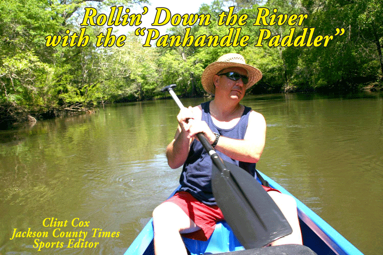
By Clint Cox, alias “The Panhandle Paddler”
For the past two summers we have paddled the Chipola River from her headwaters in Northern Jackson County to the Dead Lakes in Gulf County. The final leg of the journey was to paddle from the southern end of the Dead Lakes to where the Chipola meets up with the Apalachicola River. Folks in Gulf County like to keep it simple so the Chipola is known as the Little River and the Apalachicola is known as “The Big River”. Once again my traveling companion was Chris Matthews, a local veteran with a wealth of paddling and outdoor experience.
Our journey started with a night spent at the Sportsman’s Lodge just outside of Wewahitchka. The lodge and their boat ramp are located right on the waters of The Cut, an off shoot of The Big River that connects with The Little River just below the end of the Dead Lakes. We shoved off our canoes, loaded with our camping gear, early the next morning to a back drop of a beautiful spring morning sunrise. Within moments we had hooked up with The Little River and were on our way.
The eastern banks of the Little River below the Dead Lakes really amounts to an island. This island, which alternates as dry land and swamp land, is surrounded by The Big River, The Little River and The Cut. The most immediate difference in the Chipola down this way is the coloration of the water, which has been darkened by the influx of The Big River. The banking is also very different in that there is practically no banking to speak of. Again the eastern bank is mostly swamp land. The western banking is very low and lined with trees hanging over the river. The western bank also features a fair amount of development along the way. Maddox Slough follows some of these housing areas about an hour south of the Dead Lakes.
Just down from Maddox Slough is an unusual site for this portion of the river. The western bank displays a high bank that is at least 50 feet high and last for about 200 yards. The river then returns to her look of low to no banking with the next notable site a public boat ramp known as Land’s Landing. Shortly thereafter we see a slough to the east, which is called White River and then a creek, Burgess Creek, to the right.
At this point we have paddled about half the distance of this trip. We’ll take a break for this week and come back next week with Part II of our journey to The Big River.
Click Here to go to our Homepage
Subscribe to:
Post Comments (Atom)


No comments:
Post a Comment